Maps and Plans for the South Beach Village project and locality
Click on thumbnails to see larger image
Read "Exactly what land ?" for detailed explanation
and description of the land in dispute
See bottom of this page for 1908 map of Femantle Lead Smelter showing extent
of slag heaps in 1908
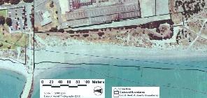
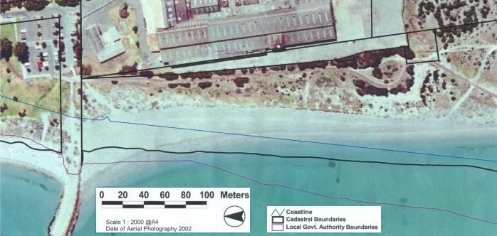
Map from aerial photograph of ANI Bradken site, shows size of existing
reserve
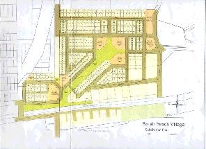
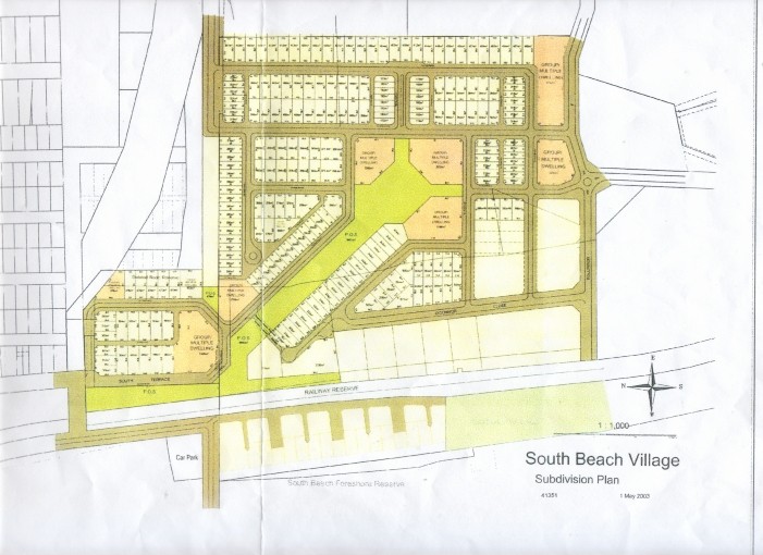
Recent full site plan of subdivision
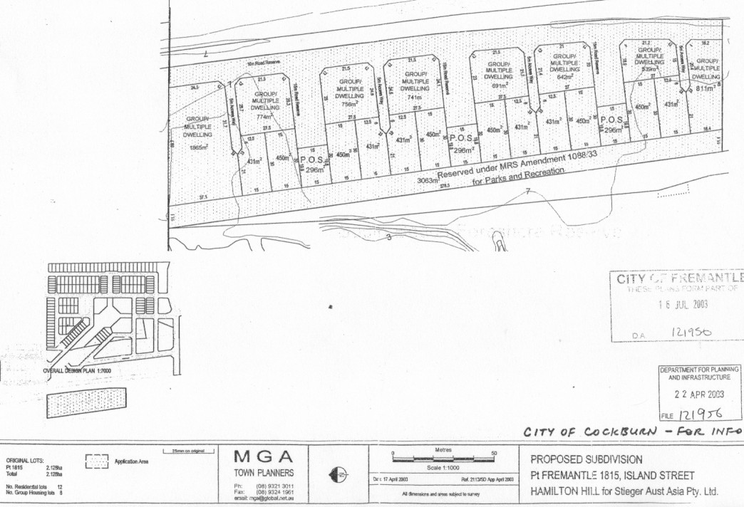
Recent details of proposal for housing on ANI Bradken site
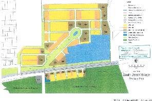
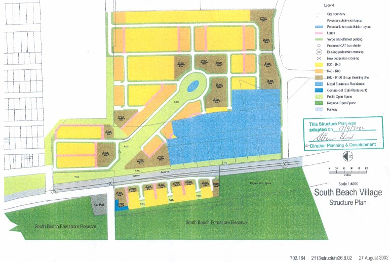
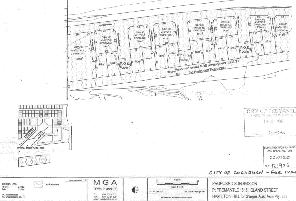
October 2002 site plan submitted to Cockburn Council, fails to show
vegetation
line, extent of beach and even the Indian Ocean creeps in on the western
boundary. Would not have helped councillors understand the details
of the vital coastal issues. This plan should have been rejected
by Council and sent back to the developers. But who would notice ?
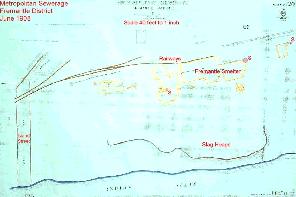
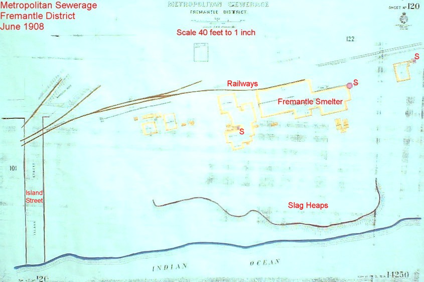
1908 Metropolitan Sewerage map (ex Fremantle Library local; history section)
showing Fremantle Smelter site and slag heaps very near the sea. The three
furnace stacks are labelled S. (see photos in smelter
pages) The northernmost looks to be on the southern half of the ANI
Bradken site. The middle stack looks to be ~60 metres south of the
ANI Bradken site and the southernmost stack is another ~80 metres south.
Cadastral surveying will help locate these century old furnace locations
followed by geophysical surveys to pinpoint the buried remnants.
Back to home page