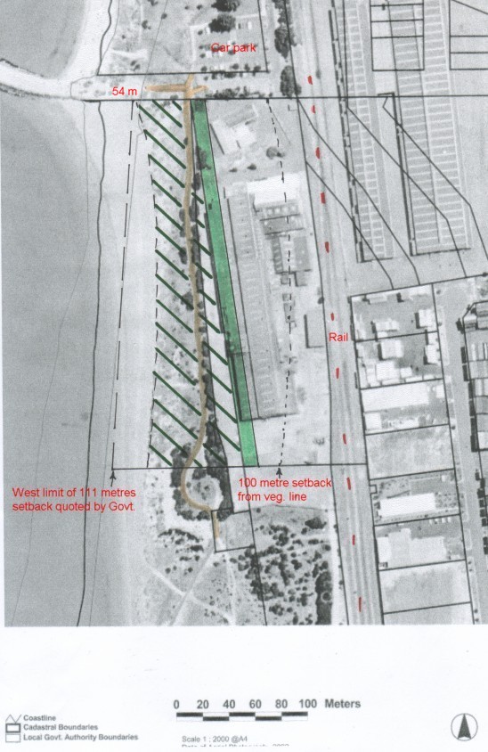
Explanation of exactly what land is at issue
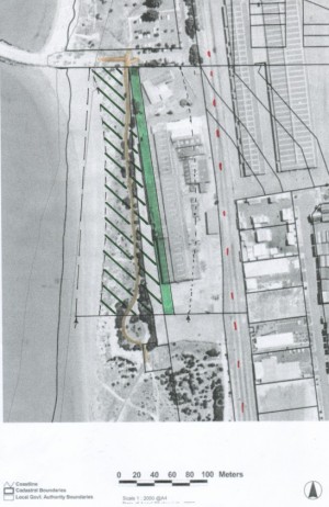
Click on map for full size copy with annotations.
 On our map the 11 metre reserve strip that the developer has ceded
back to the Government is shaded green. The
community says that 11 metres is inadequate - it should be 100 metres.
On our map the 11 metre reserve strip that the developer has ceded
back to the Government is shaded green. The
community says that 11 metres is inadequate - it should be 100 metres.
The existing cycle path is marked orange / brown.
The remaining foreshore reserve is hatched in dark green, from the vegetation
line. This area has been fenced off to prohibit public access.
The City of Cockburn have erected 'Danger' signs
due to the instability of the land. This is the land that the Minister
for Planning and Infrastructure has included in her calculation of
our coastal reserve. The community says that we want a foreshore
reserve that we are allowed to access please!!!
The normal 100 metre setback from the vegetation line is the curved dotted
black between the green strip and the rail.
The Government in 2003 talked about the subdivision setback being 54 metres
at the north end and 111 metres at the south end. These points are marked
on our full sized map. The Government's southern limit appears to be in
the sea, a puzzling point. Update June 2004, the Government
in recent months claims the setback at south end of ANI is now 90m. Our measurements
indicate it is nearer 75 m and cliffline erosion is decreasing this with every
high tide with westerly's blowing. It is beyond our comprehsion that
the combined resources of the developer and the govt. can not state the correct
measurement for such a short distance.
We are calling for an official survey of the entire site and future
reserve with a public map produced at say 1: 500 scale showing all landscape
and cadastral features. It looks to us as though the proposed setback
at the most narrow point is only ~44 metres, including the 11 metre strip,
a much lower figure than the govt which always falls back on the 53m at north
end which ignores that like a bite out of a biscuit, the beach line curves
to the east in the centre.
The normal set back for housing from a railway line is 65 metres and it
is plain that this would swallow up almost all of the ANI Bradken
subdivision proposal.
Back to home page